SpaceCom 2017: The Top Three Space Trends in Modern Agriculture
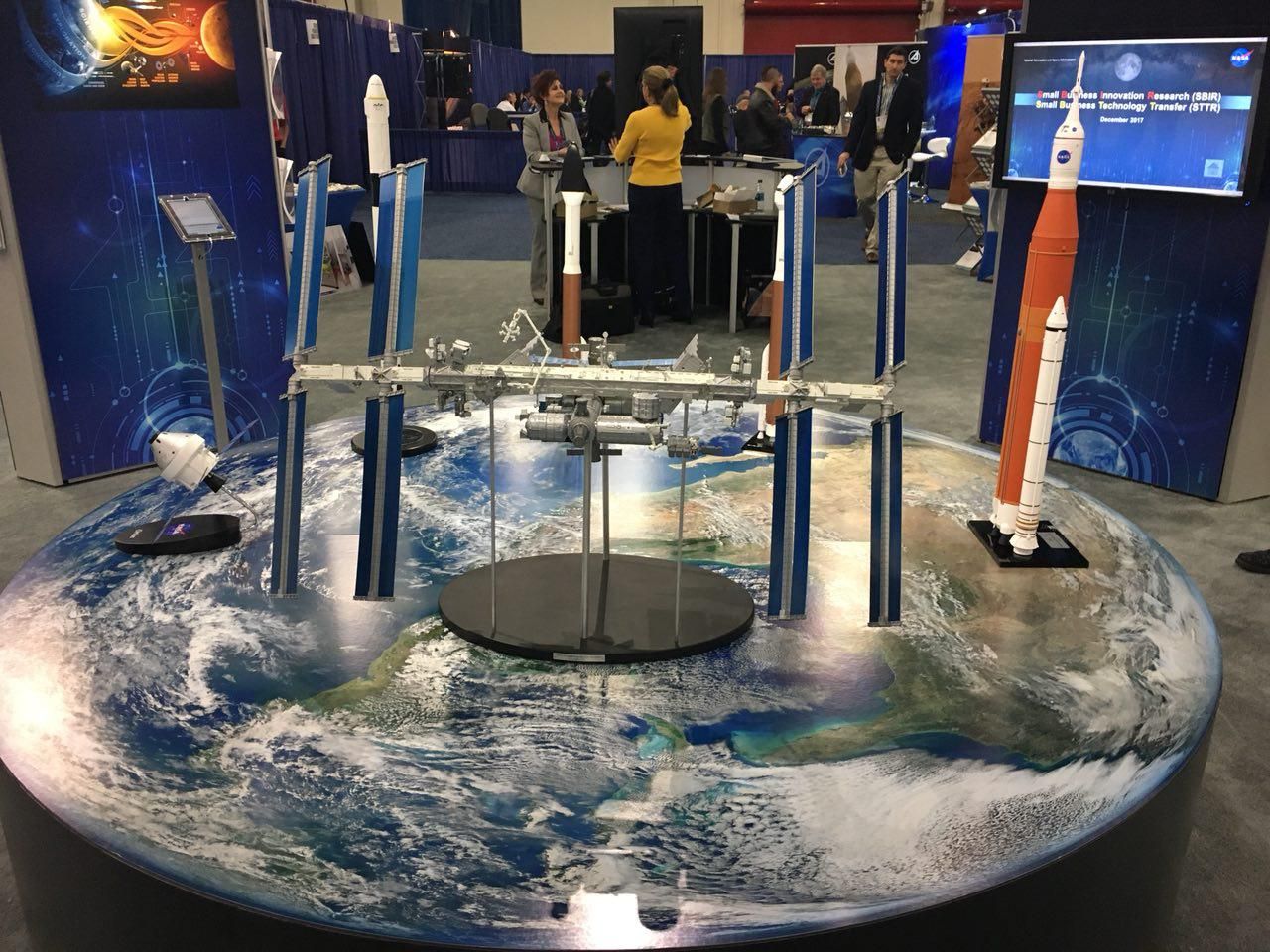
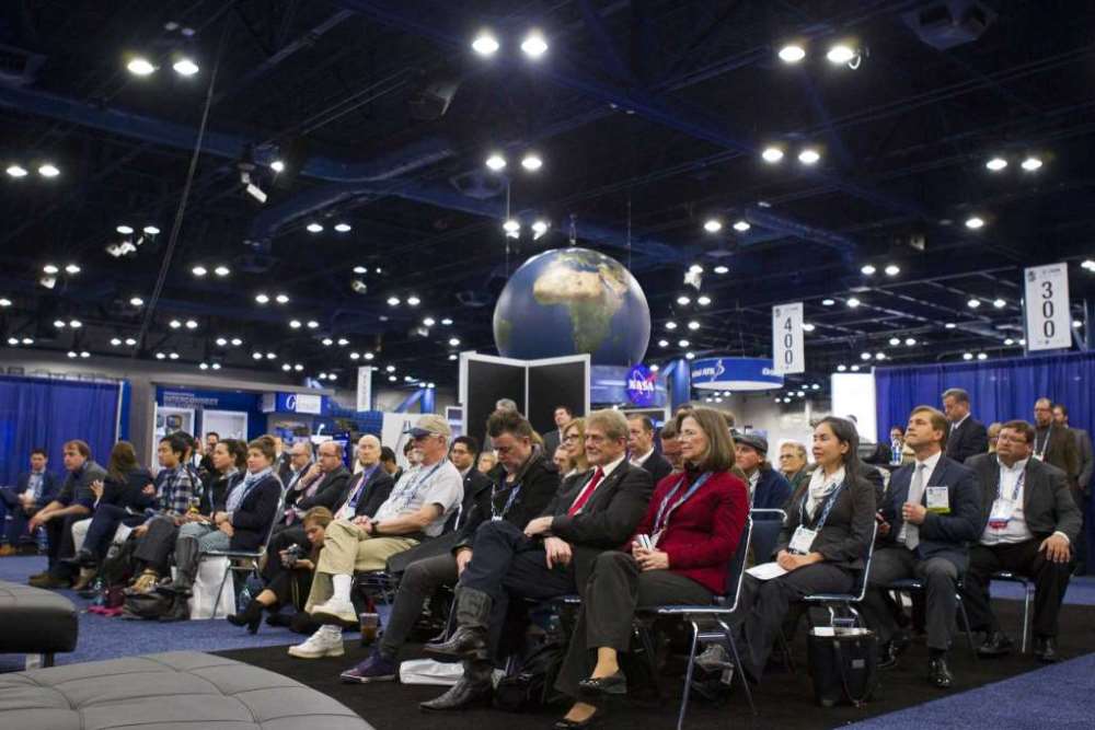
Last week, we virtually visited The Space Commerce Conference and Expo (SpaceCom) 2017, the world's largest scientific-practical conference dedicated to the commercial use of data from space. This event was held on December 5th to the 7th in Houston (the USA). The conference gathered more than 110 speakers from different countries, hundreds of companies from a variety of economic sectors, and dozens of innovative products were presented. The panel for agribusiness — one of the largest consumers of information from space — was devoted to the analysis of satellite data, a new method of using satellite imagery and navigation, remote sensing data of the earth to improve the efficiency of farming and making important management decisions in time.
Participants and panel speakers, representatives of leading companies in the research, development and implementation of innovations in the agricultural sector GEOSYS (Land-o-Lakes), Cropio and The Climate Corporation (Monsanto), discussed the development and testing of algorithms. In addition, application options of satellite data for a better understanding by farmers their resources, forecasting the harvest, monitoring weather conditions, effective irrigation, and more were talked about in detail.
Within the framework of the discussion, several global trends were voiced which in the coming years would dominate in technologies for agribusiness:
- Avoid "noise data". In the process of developing solutions, select, analyze, systematize and, as a result, inform the end users about the entire array of complex data from space in the most accessible and useful form for daily practical applications and assistance in making important management decisions. Process data, create algorithms, test them, get feedback from customers, then adjust and implement.
- Space technology will completely change the rules of the game in agribusiness. Relationships between producers of seeds, fertilizers, chemicals and farmers is one of many examples. Platforms that interpret data from space and integrate them with data from other sources are already helping Monsanto, Syngenta, and Bayer to teach farmers how to properly and efficiently use products based on accurate recommendations and detailed maps of the application. In this case, the cooperation does not end with the simple act of buying and selling.
- Aggregation of data. Do not confine yourself to data from a single source. The more information you get from different sources, the more approaches you can use to interpret and apply space data. And, as a result, you get accuracy and timeliness of assessments, forecasts and decisions. Big data is big not only in volume, but also in nature. Follow the multi approach in everything: in channels of receiving data, methods of their interpretation and analysis, fields of application.
Products that are developed by the following companies have a proven ability in these trends.
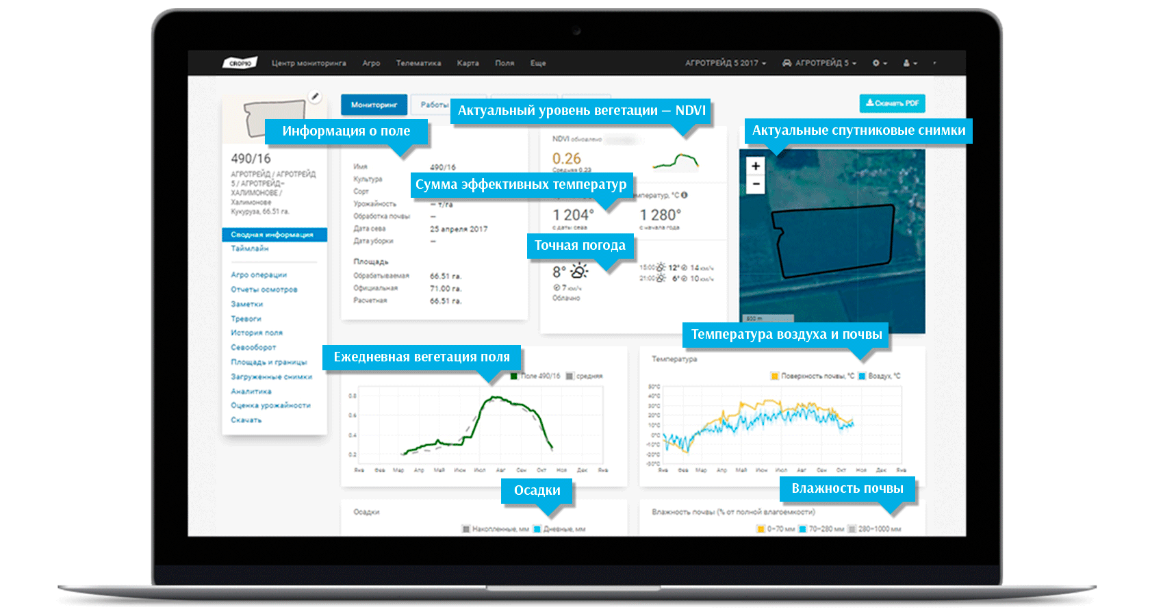
This year Cropio presented a multi-satellite platform capable of combining and integrating various data from different types of satellite systems — radar, weather, optical, and aerial photography data. This approach to obtaining and processing information provides reliable estimates and forecasts, the most relevant data from several sources, calibrated to one standard, and as a result, helping to make accurate and effective decisions.
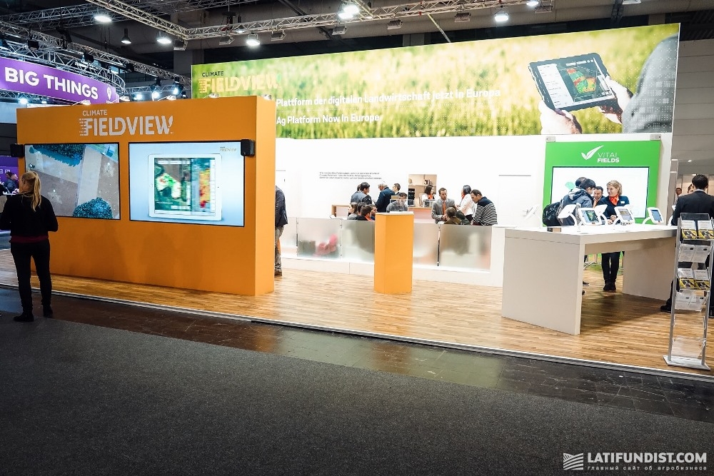
Climate Corporation in the Climate FieldView solution combined data from various meteorological sensors and satellite information into a tool for agronomic monitoring of crop conditions, including tracking the nitrogen requirements of plants without the involvement of the farmer. Our team visited the company’s stand within the course of the AgroExpedition Agritechnica 2017 and learned that in Ukraine about 50 agricultural enterprises have already started using it in test mode.
The GEOSYS system, with the help of aggregation of historical images, has learned to analyze the historical features of vegetation in the fields. This, for example, helps reduce the cost of soil sampling at times, and also provides invaluable information for the acquisition of new land for processing.
The conference participants agreed that artificial intelligence and analysis of a large amount of information is the next evolutionary step in interpreting data from space for the analysis of the situation in the fields. This future is much closer than it seems. After all, the presented products are readymade practical solutions that are already being actively used by large agricultural holdings, small and medium-sized farmers in their operations.
